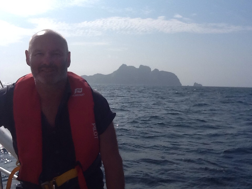
We have made very good progress since setting off. Today is no exception. I have been happily sunning myself at the stern with my daily beer ration and watching my fishing line as you can see in the photo. There is a very shallow patch ahead ( meaning it comes up from 4000 meters deep to only 1000 meters deep) and we are hopeful of finding fish there. If not there, then we are transiting past a lonely lump of rock called Malpelo island owned by Colombia. Based on various other blogs that I have read, it pays to let the Colombians know who you are and that you are in their neighbourhood. Others who have not done that, have been chased at night by Colombian Navy boats with no lights on which is a bit scary if you are up there alone on night watch. The island is very impressive. The bit you an see in the photo rises about 845 feet above sea level, but the whole thing is a 13000 foot high mountain rising from the sea bed. Bigger than Mont Blanc in the alps. Imagine what is under the water when you look at the photo. One big surprise about it was that it is incorrectly charted by at least a couple of miles. I have a different GPS and chart from the one on the boat. We transitted the island at least 1.5 miles offshore to the south and west. Both GPS’s showed us sailing right through the middle of the rock! Don’t rely solely on even two independent charts and GPS’s, always find an other independent way to check. Yesterday we did it visually. At night you would have to use the radar or stay away till daylight.
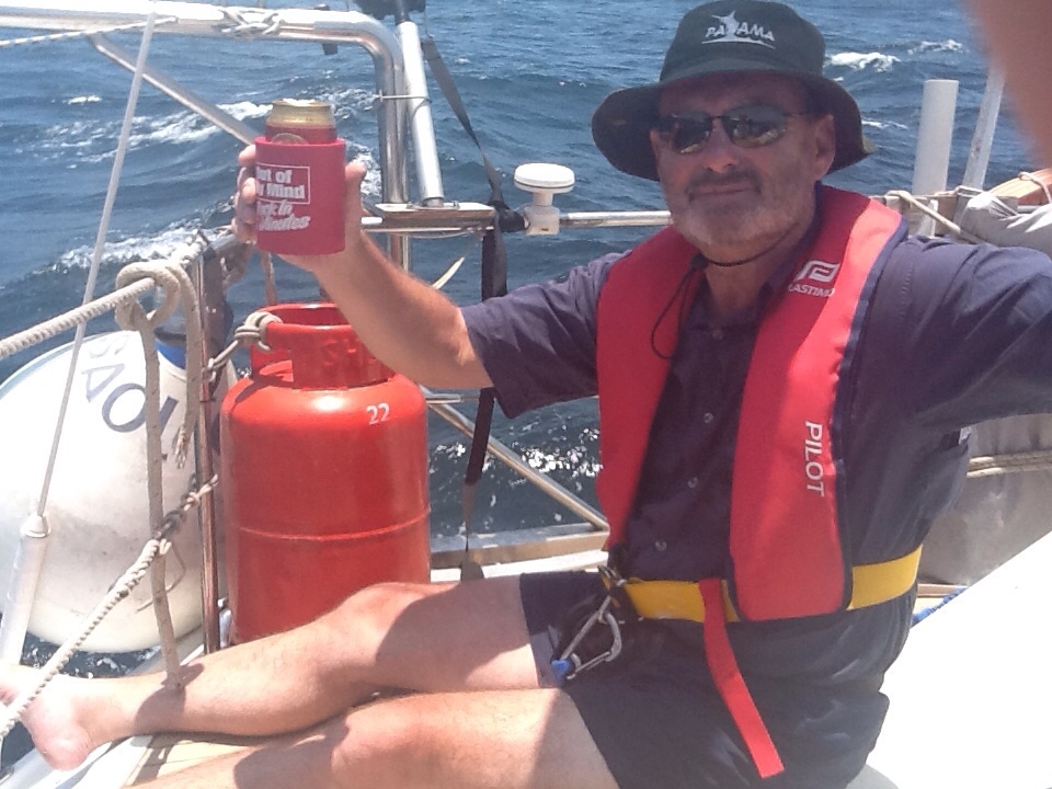
The other great thing that I am appreciating right now is the investment in he satellite phone. It is really great to just dial and speak to Sarah and family. As I write this we have another 500 miles to go to get to the Galapagos which will take at least another 4 days. Having the phone stops you from thinking that you are in the middle of nowhere, even when you are!
I have probably said so before but the stars are stunning when you are on night watch. I am getting much better at orientating myself by identifying the major constellations and working out where north south east and west must be by that. My previous post was garbage, you can see the plough, it is just upside down, with the North star below it close to the horizon. The seafarers of old did that before compasses and sextants were invented. I have stopped short of trying astro navigation on this trip.

Leave a comment